
Skip to content

Munnar sightseeing

What to see in Munnar

Tea hills, a national park, lakes, waterfalls and viewpoints on the edge of the Western Ghats. Here is what each place is like, so you can choose what goes into your days.

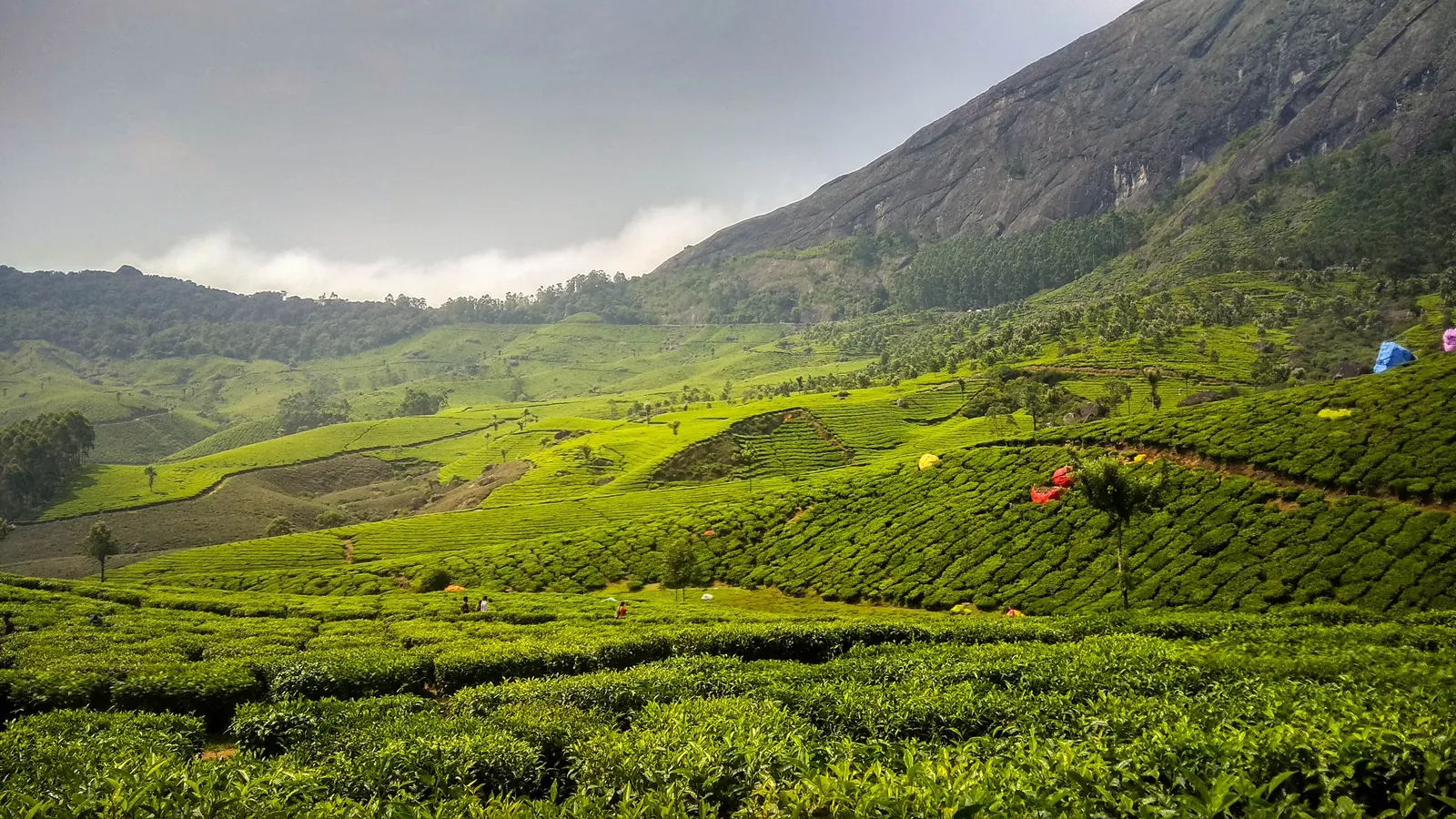
Wide view of terraced tea plantation slopes under a rocky hillside and cloud in the Kannan Devan Hills near Munnar.
Tea as far as you can see

Plan by road

Most sights sit along a few roads

Munnar town sits where three rivers meet, high in the Idukki district of Kerala. Most sightseeing follows a handful of roads out of town: north to Eravikulam and Marayoor, east to Mattupetty and Top Station, and south towards the waterfalls and viewpoints.

Grouping places by road means less time in the car and more time at each stop. Tell us which places interest you and we plan the day around them.

Place by place

Munnar, one stop at a time

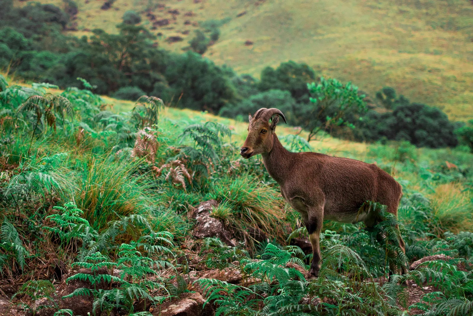
A Nilgiri tahr standing among ferns and grass on a hillside in Eravikulam National Park.
Eravikulam National Park

North of town, on the road to Marayoor

Eravikulam National Park

Rolling grassland and shola forest, and the best-known home of the Nilgiri tahr.

The park protects high grassland hills and the Nilgiri tahr, a mountain goat found only in the southern Western Ghats. Visitors are taken up from the entry point to the Rajamala area by the Forest Department. Anamudi, the highest peak in South India, rises within the park. The park closes for part of each year during the tahr calving season, so check with the Kerala Forest Department before you plan around it.

  • Wildlife
  • Views
  • Short walks
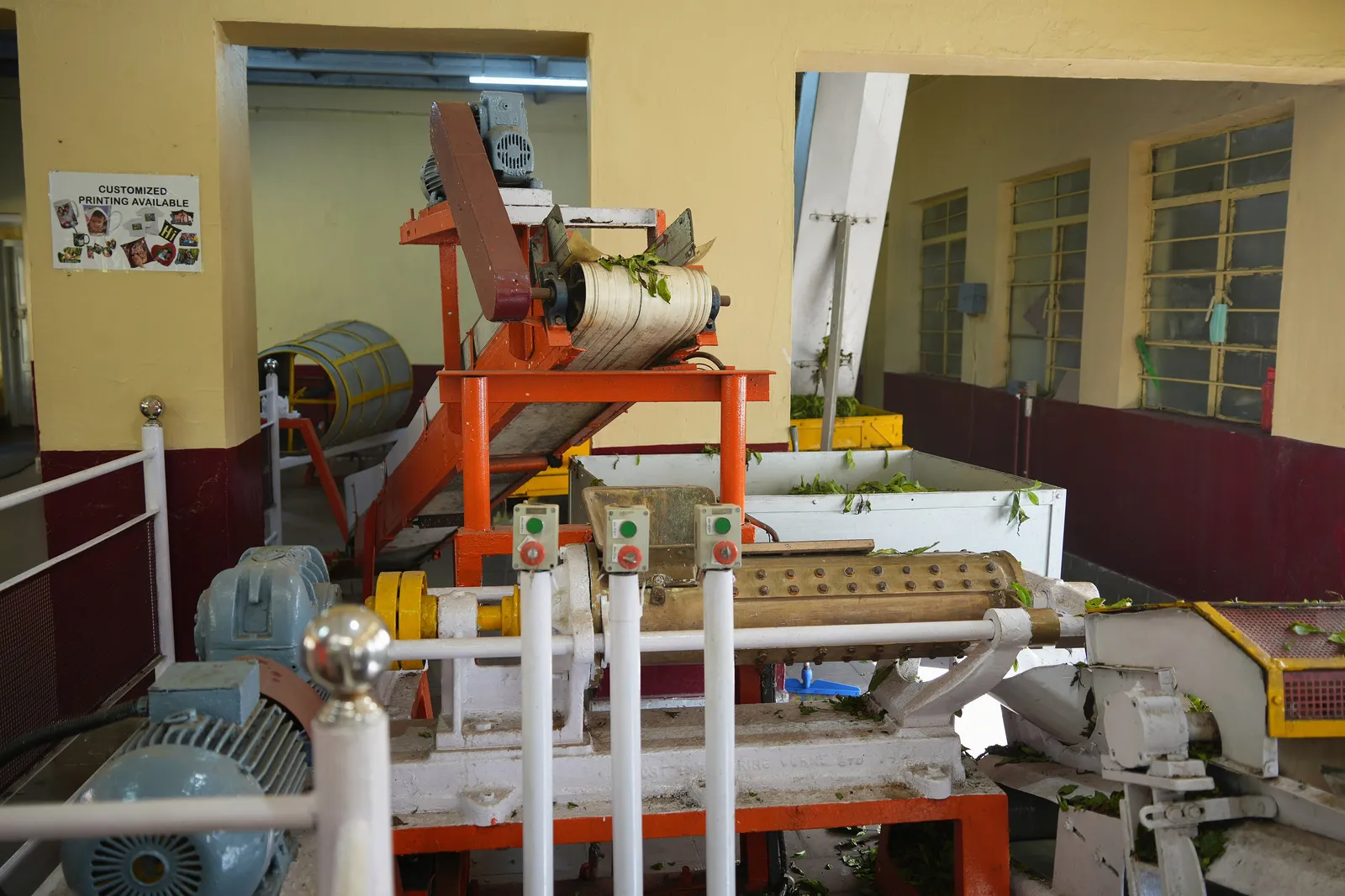
Tea processing machinery on display at the Tea Museum in Munnar
Tea Museum

Close to Munnar town

Tea Museum

The story of tea in the High Ranges, and how the leaf becomes the tea in your cup.

The museum shows how tea planting began in the Munnar hills and walks you through the processing of the leaf, with old machinery and photographs. It is a good first stop to make sense of the plantations you see on every slope.

  • History
  • Families
  • Rainy days
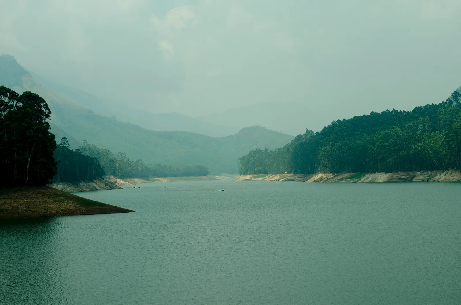
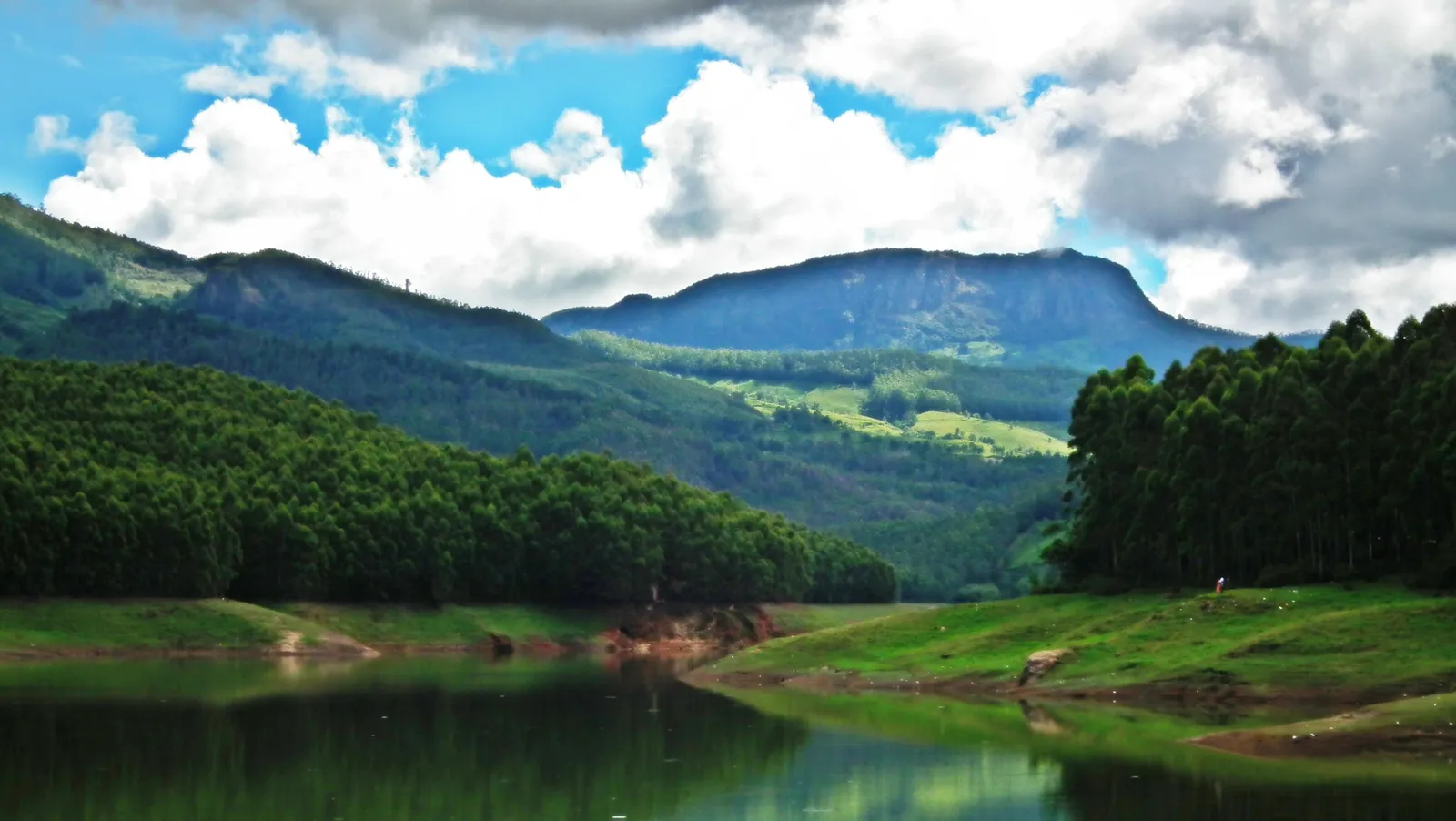
The Mattupetty Dam reservoir near Munnar with forested hills and misty ridges beyond the calm water.
Mattupetty Dam

East of town, on the road to Top Station

Mattupetty Dam

A reservoir between the hills, a common stop for boating and views.

The dam holds back a long lake in a valley of tea and forest. Boating on the reservoir is popular, and the road beyond it carries on to Echo Point, Kundala and Top Station, so it fits easily into a day on that side of Munnar.

  • Boating
  • Families
  • Views
A calm lake below forested hills at Echo Point near Munnar
Echo Point

East of town, past Mattupetty

Echo Point

A lakeside spot named for the echo that carries across the water.

A short stop on the Top Station road, where the lake meets the hills. Visitors call out to hear their voice come back, then carry on along the valley.

  • Short stop
  • Families
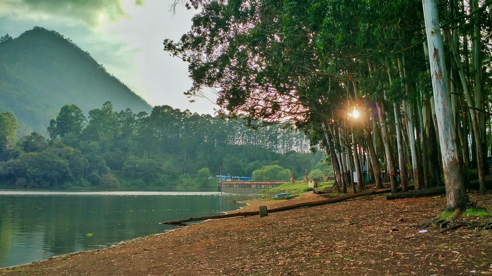
The still water of Kundala Lake beside a tree-lined shore near Munnar
Kundala Lake

East of town, between Echo Point and Top Station

Kundala Lake

A quiet dam lake ringed by trees and tea.

Another reservoir further along the same road, calmer than Mattupetty. It is a pleasant place to stretch your legs before the climb to Top Station.

  • Views
  • Quiet
  • Photography
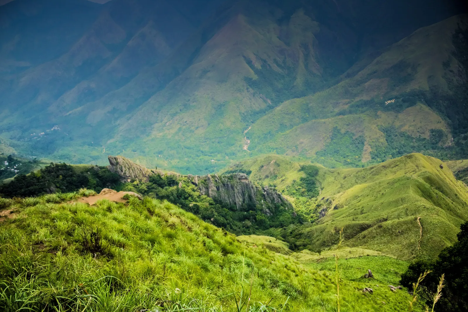
View from Top Station, Munnar, over steep green grass-covered mountain slopes and a rocky outcrop.
Top Station

East of town, near the Tamil Nadu border

Top Station

A high viewpoint looking down over the plains of Tamil Nadu.

The road from Munnar ends at a ridge on the edge of the Western Ghats, with views over the hills and the valley far below. Its name comes from the ropeway that once carried tea down from the estates. The view depends on the cloud, which can roll in quickly.

  • Views
  • Photography
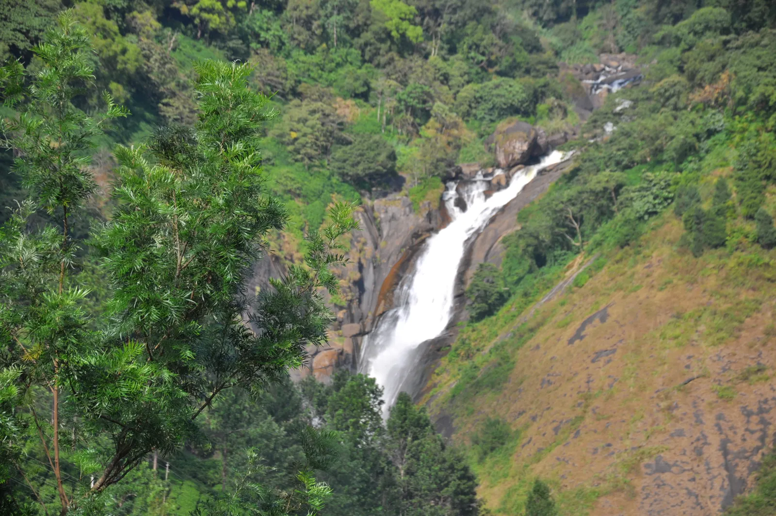
Attukal Waterfalls dropping into a green valley near Munnar
Attukal Waterfalls

South of town, between Munnar and Pallivasal

Attukal Waterfalls

A waterfall dropping through a green valley of tea and forest.

One of the falls closest to Munnar town. The water runs strongest during and after the monsoon, and the slopes around it are popular for short walks.

  • Waterfalls
  • Short walks
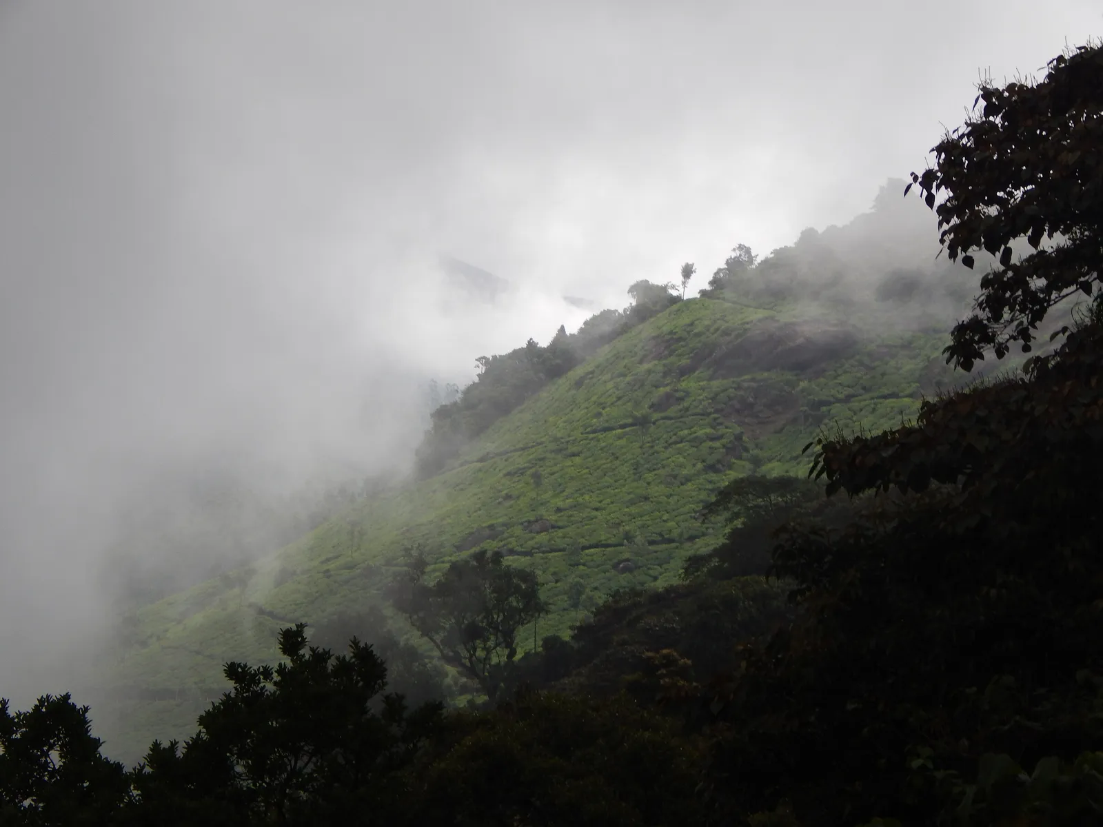
Tea-covered hillside at Pothamedu Viewpoint, Munnar, with fog rolling across the valley.
Pothamedu Viewpoint

South of town

Pothamedu Viewpoint

A wide view over tea, coffee and cardamom plantations.

A viewpoint above the valley with the plantations laid out below. It pairs well with Attukal for a half day close to town.

  • Views
  • Photography
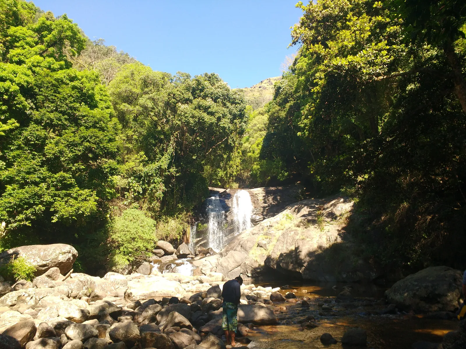
Lakkam waterfalls tumbling over rocks into a boulder-strewn stream surrounded by green forest.
Lakkam Waterfalls

North of town, on the road to Marayoor

Lakkam Waterfalls

A forest waterfall on the drive north from Eravikulam.

A stream falls over rocks into a pool beside the Marayoor road. It makes a natural stop on a day that combines Eravikulam and Marayoor.

  • Waterfalls
  • Short stop
Dry hills and rocky ground around the dolmen site at Marayoor
Marayoor

North of Munnar, past Eravikulam

Marayoor

Sandalwood forest, ancient dolmens and sugar cane country.

The drive north drops into a drier valley known for its natural sandalwood forest and for dolmens, burial chambers built thousands of years ago. Marayoor jaggery, made from the local sugar cane, carries a geographical indication tag.

  • History
  • Nature
  • Long day out
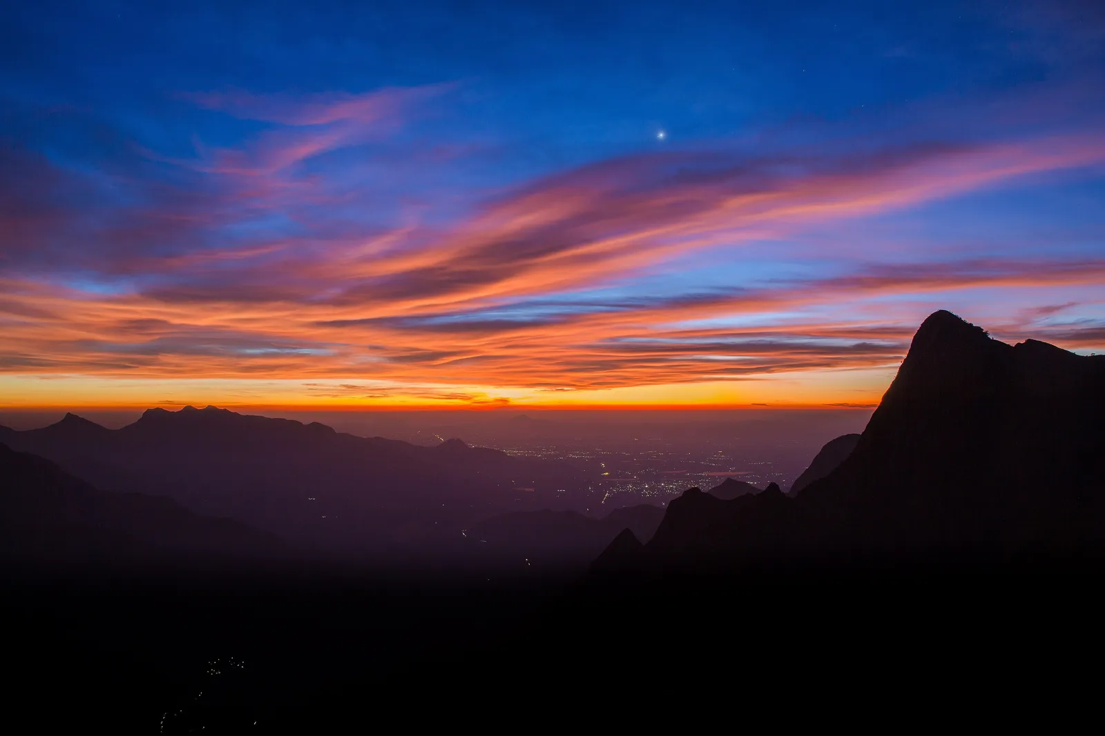
A fiery pre-dawn sky over dark mountain ridges, seen from Kolukkumalai
Kolukkumalai

East of Munnar, above Suryanelli

Kolukkumalai

Tea on the highest slopes, best known for sunrise over the hills.

Some of the highest tea gardens in the region cling to these hills. The last stretch is a rough track that ordinary cars cannot use, so visitors go up by jeep, often before dawn to see the sunrise.

  • Sunrise
  • Adventure
  • Photography
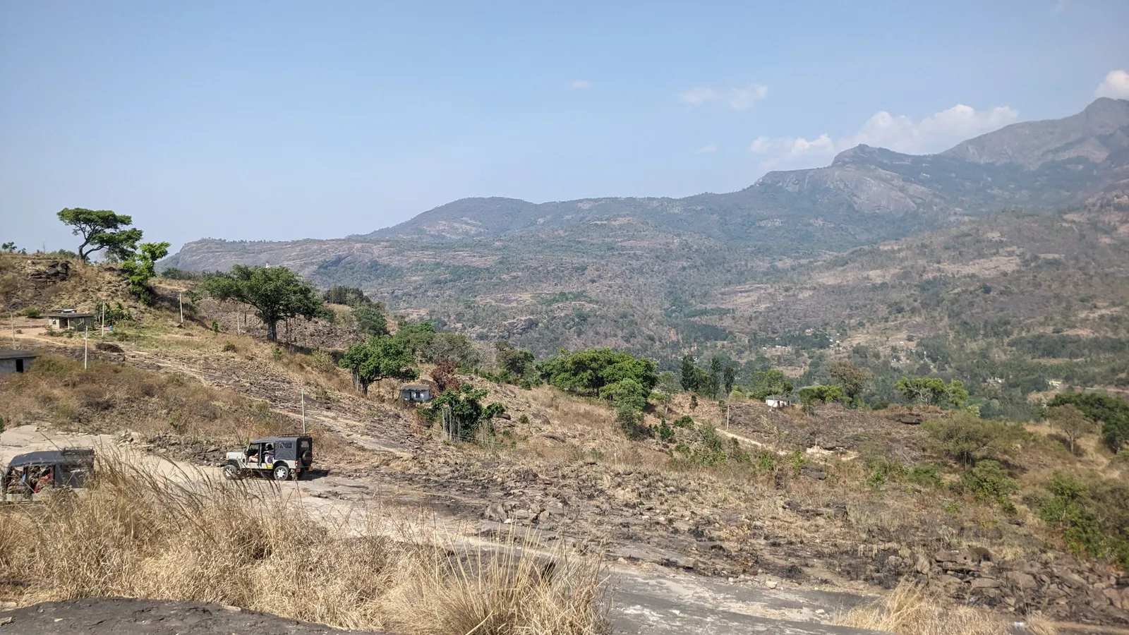
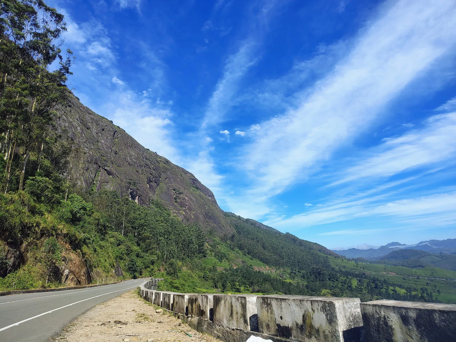
The Gap Road near Munnar running beside a steep rock face, with hills fading into the distance
Lockhart Gap and the Gap Road

East of town, on the road towards Bodimettu

Lockhart Gap and the Gap Road

A pass through the hills with tea estates falling away on both sides.

The road towards Bodimettu runs through some of the most photographed tea country around Munnar, with long views over the estates and the Ghats beyond.

  • Views
  • Tea estates
  • Photography

From our drivers

Tips for your days out

  • Leave the hotel early. The high lookouts are often clearest in the morning, before the cloud rolls up the valleys.

  • Pack a warm layer. At this height, mornings and evenings can be properly cool even when the coast is hot.

  • Eravikulam pauses visits for a few weeks most years while the tahr have their young. Ask us, or check with the Forest Department, before you plan around it.

  • The Neelakurinji shrub flowers in mass only about once every twelve years; it last turned the Munnar slopes blue in 2018. Ask us before planning around the next bloom.

Ask away

Sightseeing questions

Southern HillwaysQuestions travellers ask us

How many days do I need for Munnar sightseeing?

Two full days cover the main roads: one towards Top Station and one towards Eravikulam and Marayoor. A third day leaves time for waterfalls, viewpoints or a sunrise at Kolukkumalai.

Can I hire a taxi just for sightseeing?

Yes. Tell us where you are staying, the date and what you want to see, and we reply with a quote for a car and driver.

Is Eravikulam open all year?

No. The park closes for part of each year during the Nilgiri tahr calving season. Check dates with the Kerala Forest Department before you travel.

Is there a bad time to come?

Not really. The monsoon months bring mist and roaring waterfalls, the drier months bring long clear views. Look at the national weather forecast close to your dates.

Something else? Ask us directly.

Message on WhatsApp (opens in a new tab)

Southern Hillways · Munnar

Tell us what you want to see

Pick a few places from this page and send them to us with your dates. We reply with a plan for the day and a quote for the car and driver.

Start
Your hotel
Stops
Your choice
Driver
From Munnar
Fare
On request